Puget Sound and Olympic Mountains View
Understand the western panorama from the Space Needle, where ferries, islands, open water, and mountain ridges define Seattle's maritime setting.
Understand the western panorama from the Space Needle, where ferries, islands, open water, and mountain ridges define Seattle's maritime setting.
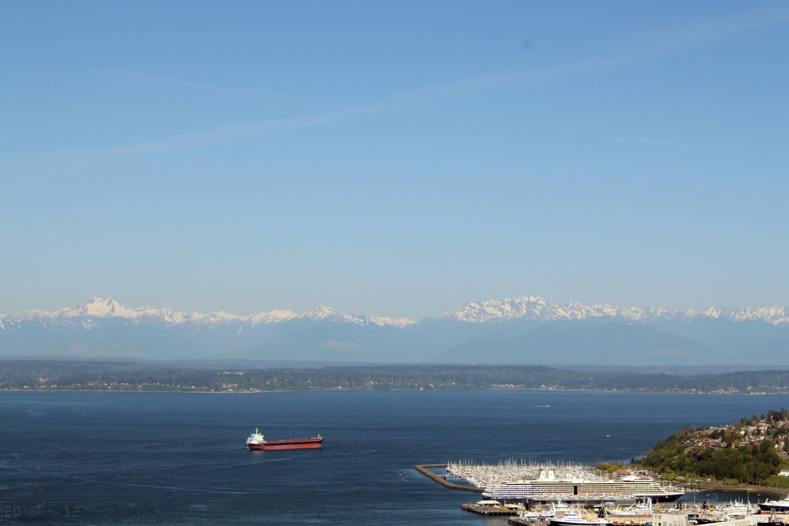
The Space Needle's western outlook reveals why Seattle is often described as a city balanced between water and peaks. You can track ferry routes across Elliott Bay and Puget Sound while the Olympic Mountains rise in layered silhouettes beyond.
This contrast between busy waterways and distant wilderness is one of the strongest visual signatures of the Pacific Northwest, especially when the air is clear and evening light warms the horizon.
Plan your visit route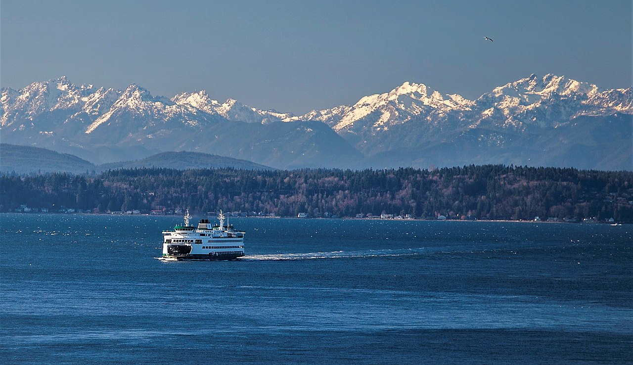
Watch vessels crossing the bay and linking Seattle with surrounding communities and islands.
The Olympic range forms textured lines that shift in tone through the day.
On clear days, island outlines and coastal contours become easier to distinguish.
Evening light gradually turns water and mountains into high-contrast scenic layers.
Low marine haze is key if you want full mountain definition and distant shoreline detail.
Optics help identify ferries, harbor movement, and subtle terrain features across the Sound.
This angle offers some of the strongest evening light and reflective color shifts in Seattle.
Wide compositions best capture the sea-to-mountain depth of this landscape.